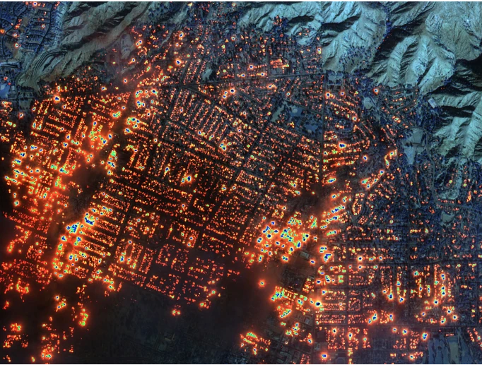
Fueled by strong winds and dry conditions, a massive wildfire erupted Tuesday and swept across the Los Angeles area, destroying hundreds of homes and killing at least five people.
Los Angeles County fire officials said an unexpected number of major injuries were linked to two fires, and a Los Angeles city official described Tuesday night as “the most devastating and terrifying” she’s seen in her part of the city.
Follow here for live coverage.
“This is looking worse and worse as we get more information,” said climate scientist Daniel Swain.
Where are the fires?
- The Palisades Fire erupted Tuesday morning in Pacific Palisades, a Los Angeles County neighborhood east of Malibu, as a brush fire. The blaze had grown to more than 15,000 acres by Wednesday afternoon, and to 17,234 acres by Thursday morning, according to the California Department of Forestry and Fire Protection. It’s the most destructive fire in Los Angeles history.
- The Eaton Fire ignited Tuesday night near a canyon in the sprawling national forest lands north of downtown Los Angeles and had exploded to more than 10,000 acres by Wednesday, according to the U.S. Forest Service.
- The Hurst Fire started Tuesday night in Sylmar, a suburban neighborhood north of San Fernando, as a brush fire and quickly grew to 500 acres, Los Angeles Fire Chief Kristen Crowley said. By Wednesday evening it stretched 855 acres and was 10% contained, according to fire officials.
- The Sunset Fire sparked in the Hollywood Hills of Los Angeles near Runyon Canyon shortly before 6 p.m. Wednesday, prompting mandatory evacuations. By Wednesday evening it stretched 60 acres, according to the Los Angeles Fire Department.
- The Lidia Fire broke out near the community of Acton in a region between the Sierra Pelona and San Gabriel mountains Wednesday afternoon. By evening, it spanned 348 acres with 40% containment.